Excerpt:

Back in February, seismologists at UC Berkeley released MyShake, an app that passively monitors for seismic activity, both watching for earthquakes and warning users if one is underway. In the months since its introduction, the app has outperformed its creators’ expectations, detecting over 200 earthquakes in more than ten countries. The app has received nearly 200,000 downloads, though only a fraction of those are active at any given time; it waits for the phone to sit idle so it can get good readings. Nevertheless, over the first six months the network of sensors has proven quite effective. “We found that MyShake could detect large earthquakes, but also small ones, which we never thought would be possible,” one of the app’s creators, Qingkai Kong, told New Scientist.

Source: Earthquake-sensing mobile app MyShake captures hundreds of temblors large and small
Editor’s Choice: Often cited as the longest-running citizen science effort, the Christmas Bird Count (CBC) returns next week for its 117th season. This article illustrates the excitement of a particular, local community, while also depicting the bigger picture of CBC’s longevity, global scalability, and relevance to conservation. Taking this opportunity to reflect on CBC’s legacy, here is a summary of the very first CBC, conducted by 27 participants in the year 1900 (courtesy National Audubon Society). –AWA–

Excerpt:

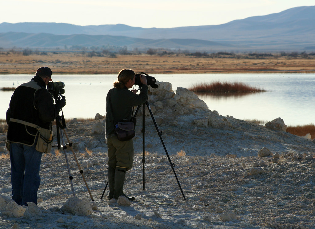
Numbers aren’t the only focus of the annual Christmas Bird Count. The event was founded in 1900 in New York to urge a change in what was then a socially accepted practice of killing birds—all kinds of birds—as a way of seeing what species are out there, or were. The idea of a count brought people together with binoculars instead of guns.
A colossal database has been compiled in 116 years of number keeping by compulsive birders as interest in the annual event has spread. The 2016 Christmas Bird Count set overall records for turnout—76,669 volunteers participating in 2,505 group counts across North America, Latin America, Bermuda and the Pacific Islands. They tallied a total of 58.9 million birds, down from the record 68.8 million birds counted in 2015. But diversity in the count was up in 2016, with 2,607 species tallied—roughly one-quarter of the world’s known avifauna.

Photo courtesy USFWS Pacific Southwest Region. 2009 Christmas Bird Count

2009 Christmas Bird Count

Photo Credit: USFWS Pacific Southwest Region (via Flickr)

Source: Annual Christmas Bird Count provides crucial data

Abstract:

Recent years have seen a surge in online collaboration between experts and amateurs on scientific research. In this article, we analyse the epistemological implications of these crowdsourced projects, with a focus on Zooniverse, the world’s largest citizen science web portal. We use quantitative methods to evaluate the platform’s success in producing large volumes of observation statements and high impact scientific discoveries relative to more conventional means of data processing. Through empirical evidence, Bayesian reasoning, and conceptual analysis, we show how information and communication technologies enhance the reliability, scalability, and connectivity of crowdsourced e-research, giving online citizen science projects powerful epistemic advantages over more traditional modes of scientific investigation. These results highlight the essential role played by technologically mediated social interaction in contemporary knowledge production. We conclude by calling for an explicitly sociotechnical turn in the philosophy of science that combines insights from statistics and logic to analyse the latest developments in scientific research.

Source: Crowdsourced science: sociotechnical epistemology in the e-research paradigm

Editor’s Choice:  The rest of the politisphere may be in disarray, but here is a ray of hope! If you have a moment, send a word of thanks. –LFF–

Excerpts:

The term “citizen science” means a form of open collaboration in which individuals or organizations participate in the scientific process in various ways, including—(A) enabling the formulation of research questions; (B) creating and refining project design; (C) conducting scientific experiments; (D) collecting and analyzing data; (E) interpreting the results of data; (F) developing technologies and applications; (G) making discoveries; and (H) solving problems.

The term “crowdsourcing” means a method to obtain needed services, ideas, or content by soliciting voluntary contributions from a group of individuals or organizations, especially from an online community.

The head of each Federal agency engaged in a crowdsourcing or citizen science project under this section shall make public and promote such project to encourage broad participation of consenting participants.

Source: H.R.6414: Crowdsourcing and Citizen Science Act of 2016, 114th Congress, via Library of Congress

Editor’s Choice: This article is an excellent overview for a dedicated issue of 20 articles in Biological Conservation on the ever-expanding role of citizen science in that arena. Section 5 in particular has some thoughtful recommendations on next steps. — LFF —

Abstract:

Research taking place at the intersection of conservation and citizen science holds great potential for advancing both fields as well as for addressing grand challenges in the field of conservation. This Special Issue highlights the work of twenty research groups actively working at this intersection and examining participant motivation, learning and action; evaluating and improving research design and data quality; and investigating conservation science applications. The results of these studies directly contribute to advancing our understanding of the role that citizen science can play in conservation. As research continues in these fields, directing our efforts toward communicating insights, creating interdisciplinary teams that use citizen science to tackle wicked problems, and improving coordination among investments in citizen science are actions likely to have the greatest impact. We invite conservation and citizen science practitioners to contribute to the dialogues initiated by articles in this Special Issue.

Photo Credit: Hanna Schwalbe, NPS, via Joshua Tree National Park on Flickr (Public domain work)

Source: Citizen science and conservation: Recommendations for a rapidly moving field

Abstract:

The use of citizen science to address global and local environmental challenges will depend on demonstrated evidence that it can lead to meaningful contributions to science, management, and social action. Systematic evaluation of citizen science projects is important yet lacking to date. We developed an evaluation tool and used it to conduct a meta-analysis of 51 Earthwatch projects over a 7-year period, assessing their ability to produce peer-reviewed publications and contribute to management plans and policies. The development and testing of an evaluation tool identified key factors to improve outcomes of citizen science projects, including deliberate design of projects through direct engagement with scientists. In turn, scientists increased their reporting of outcomes when outcomes were being used for program assessment and feedback to participants. Over this period, outcomes for the 51 projects consisted of: 333 peer-reviewed publications and 264 contributions to management plans and policies, with a mean of 1.6 peer-reviewed publications per project per year and 1.3 contributions to management plans per project per year. Across this period, projects averaged 6.5 publications and 5.2 contributions to plans and policies per project (range 0–26 contributions per project). Several other project attributes were found to lead to higher outcomes. We found that the creation of evaluation tools helped hold projects accountable for outcomes and highlighted to project managers and scientists the characteristics of projects that lead to improved outcomes. Elements of this approach could be transferred to other projects, helping to fulfill the potential of citizen science to address global challenges.

Source: Contributions to publications and management plans from 7 years of citizen science: Use of a novel evaluation tool on Earthwatch-supported projects

Input from about 10,000 volunteers viewing images from Martian south polar regions has identified targets for closer inspection, yielding new insights about seasonal slabs of frozen carbon dioxide (dry ice) and erosional features called “spiders.”

The volunteers from around the world have been exploring the surface of Mars by examining images from the Context Camera (CTX) on NASA’s Mars Reconnaissance Orbiter (MRO) and identifying certain types of terrain around Mars’ South Pole. The collected information is used by scientists planning observations of Mars by the orbiter’s High Resolution Imaging Science Experiment (HiRISE) camera, which photographs much less ground but in much greater detail, compared to CTX.

“It’s heartwarming to see so many citizens of Planet Earth jump in to help study Mars,” said HiRISE Deputy Principal Investigator Candice Hansen, of the Planetary Science Institute. “Thanks to the discovery power of people, we’re taking pictures of features of Mars with HiRISE of places we would not have imaged without this assistance.”

“In the spring the dry ice turns to gas and carves unusual features in the Mars surface, resulting in exotic terrains described informally as ‘spiders,’ ‘Swiss cheese’ and ‘channel networks,’ – this is what we asked our citizen scientists to find in the CTX images,” said PSI Senior Scientist Hansen.

Source: Thousands of Citizen Scientists Help Point NASA to New Mars Findings

Abstract:

It is a hard reality that virtually all countries, no matter how well resourced, take conservation and land use decisions based on highly patchy and imperfect data – if indeed any data at all. Despite a mushrooming of scientific evidence and journals in the past decade, and open-access provision of many expensive global datasets, developing countries in particular often have to make do with inaccurate and coarse-scale global data, in the absence of targeted, local data to solve immediate conservation problems. To what extent can citizen science data compensate for the patchiness of conventional government-gathered scientific data in order to support planning, policy and management? We demonstrate how southern Africa’s citizen science-based “early warning system for biodiversity” is used to support land-use planning and conservation decisions, including Red List, strategic and project-based environmental impact assessments and national protected area expansion and implementation strategies. This system integrates volunteer-based species atlases such as the Protea Atlas Project and Southern African Bird Atlas Project (SABAP), species population monitoring such as the Custodians of Rare and Endangered Wildflowers (CREW) project, and site-based rapid assessment and monitoring such as MyBirdPatch and BioBlitz. Countries in southern Africa are on a sharp continuum of research capacity, funding, political engagement and own datasets. Yet there is the capacity for adaptive management systems based in significant part on civil society volunteerism. Crucially, these must be underpinned by statistically sound, simple, repeatable scientific protocols, which are still rare in Africa.

Source: Early warning systems for biodiversity in southern Africa — How much can citizen science mitigate imperfect data?

Editor’s Choice: To succeed in producing high-quality science, citizen science efforts must account for potential bias from human input – even if it is to understand which factors relate to improved performance to increase efficiency. This article is a great example of this type of study with the interesting result that predicted efficiency gains from local knowledge of land-cover does not aid in classification of land-cover based on satellite images. — LFF —

Abstract:

The idea that closer things are more related than distant things, known as ‘Tobler’s first law of geography’, is fundamental to understanding many spatial processes. If this concept applies to volunteered geographic information (VGI), it could help to efficiently allocate tasks in citizen science campaigns and help to improve the overall quality of collected data. In this paper, we use classifications of satellite imagery by volunteers from around the world to test whether local familiarity with landscapes helps their performance. Our results show that volunteers identify cropland slightly better within their home country, and do slightly worse as a function of linear distance between their home and the location represented in an image. Volunteers with a professional background in remote sensing or land cover did no better than the general population at this task, but they did not show the decline with distance that was seen among other participants. Even in a landscape where pasture is easily confused for cropland, regional residents demonstrated no advantage. Where we did find evidence for local knowledge aiding classification performance, the realized impact of this effect was tiny. Rather, the inherent difficulty of a task is a much more important predictor of volunteer performance. These findings suggest that, at least for simple tasks, the geographical origin of VGI volunteers has little impact on their ability to complete image classifications.

Image Credit: Figure 2 from article – An example image from the Cropland Capture game

Source: Local Knowledge and Professional Background Have a Minimal Impact on Volunteer Citizen Science Performance in a Land-Cover Classification Task

“Low-cost technology opens up doors for people who never before had the opportunity to become involved in science, especially those in low-income communities. In recent years, communities themselves are initiating research projects, supported by scientists, rather than the other way around.

For example, Extreme Citizen Science, based in the United Kingdom, is developing a generic platform that enables nonliterate people in the Republic of Congo to use smartphones and tablets to collect, share, and analyze spatial data. “Ultimately, the goal is to let communities build so-called Community Memories: evolving, shared representations of the state of their environment, their relationship with it, and any threats it faces,” according to the project’s website.”

One of the many topics explored in this article which covers a range of issues. –AWA–

Source: Frontiers of Citizen Science